May 14, 2026Guide
How to Use GeoAxis AI
A step-by-step guide to finding the location of any image with the best AI location finder - from upload to coordinates in under a minute.

Upload any photo. GeoAxis returns ranked locations with confidence scores and the evidence behind each one - meter-level in 2,300+ cities, no GPS or EXIF needed.

Powerful AI location intelligence at your fingertips - accurate, global, and built with security at every layer.
Advanced AI algorithms analyze images to pinpoint exact locations with unprecedented accuracy.
Access to worldwide location data covering every corner of the planet.
Your data is protected with enterprise-grade security and privacy measures.
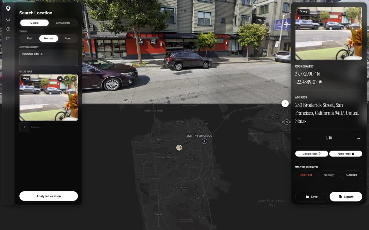
Every search returns ranked candidate locations, each with a confidence score and the clues behind it pinned on the map. Export the whole result as a PDF report.
City Search matches street photos against indexed imagery in 27 countries and shows the matching Street View side by side.
Including OSINT-level investigations, street-level accuracy in 2,300+ cities, ranked leads with the evidence behind them, Street View verification and PDF reports.
Explore the AI-powered geolocation tools designed for precision at every scale.

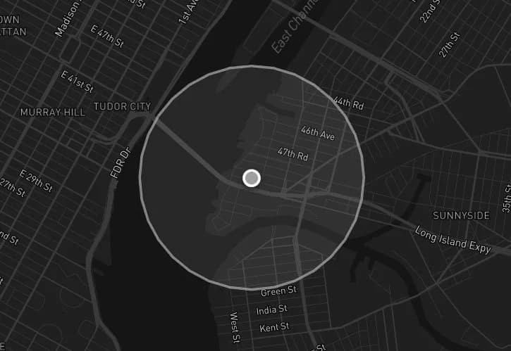
Built for photos from anywhere, including low-context ones - plain skies, generic streets, blurred frames. The AI returns ranked candidate locations, each with a confidence score, a radius and the clues behind it, instead of guessing at a false pinpoint.
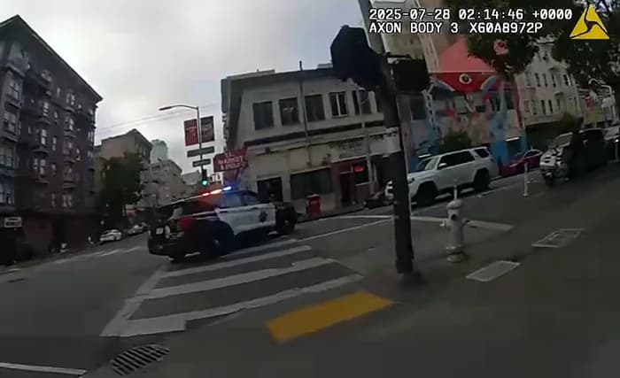
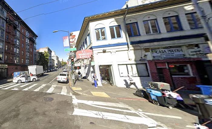
Matches street photos against indexed street-level imagery in 2,300+ cities across 27 countries for meter-level coordinates, with the matching Street View shown side by side so you can check the match yourself.
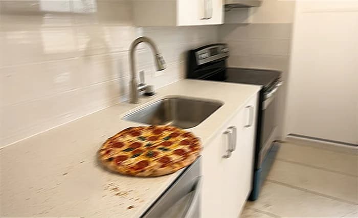
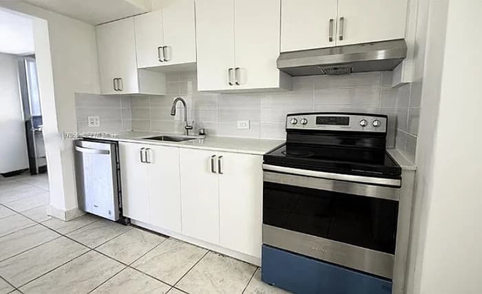
Identifies indoor spaces - lobbies, cafes, stations - by matching them against reference image databases. Rolling out first through HyperVision custom deployments.
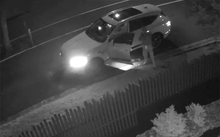

Detects vehicle make, model, and other attributes from any angle - useful for narrowing down a scene when location cues are limited.

A step-by-step guide to finding the location of any image with the best AI location finder - from upload to coordinates in under a minute.

Benchmarks, accuracy gains, and why GeoAxis is currently the best AI location finder on the market.

Finding the location of an image is easy with GeoAxis. Learn how AI geolocation works in seconds.
It depends on the mode. City Search (HyperVision™) matches a street-level photo against indexed street imagery and pins it to within meters in 2,300+ cities and towns across 27 countries. Global Search works anywhere on Earth and returns ranked candidate locations, each with a confidence score. On Dataset-GSS (615 street-level photos from 396 cities in 123 countries) GeoAxis V3 put 464 of the 615 photos on the correct spot and the other 151 in the right local area.
Yes. Every result comes as ranked leads, not a bare pin: each candidate has a confidence score and the visual clues behind it, with evidence pins on the map. City Search shows the matching Street View side by side with your photo, aimed the way your camera faced, and an optional re-rank checks the match keypoint by keypoint against Street View imagery. You can export the whole result as a PDF report.
No. GeoAxis reads the scene itself: architecture, vegetation, road markings, signs, terrain and light. It works on screenshots and social-media uploads where the metadata has been stripped. If a photo still carries GPS, GeoAxis shows that location straight away at no cost.
You pick the effort level. Median times on production runs: Instant about 5 seconds, Low about 20 seconds, Medium about 30 seconds and High about 60 seconds. Higher effort runs more reasoning passes in parallel and is worth it on hard photos.
You get free Global and City searches when you sign up, with no card needed. After that, Pro is $29.99 a month ($23.99 a month billed yearly), Business is $79.99 a month, or you can buy pay-as-you-go credits from $10.
Yes. The REST API is included on the Business plan (50 calls a month) and unlimited on Enterprise, with no sales call needed for Business. The docs at geoaxis.ai/docs cover authentication, Global and City Search endpoints, and Python, JavaScript and cURL examples.
No. GeoAxis locates places, not people. It has no facial recognition and does not identify individuals. Uploaded originals are deleted automatically after 30 days and are not used to train our models unless you opt in.
GeoSpy is now Raven and is not available to the public: it is sold to law enforcement, government and investigative teams that book a demo, with no public sign-up, free tier, pricing or published accuracy figures. GeoAxis is self-serve and free to try, placed 87% of photos within 1 km in GeoSeer's cross-tool benchmark, and pins street photos to within meters in 2,300+ cities - the best AI image location finder you can use today.
HyperVision™ is the visual place recognition engine behind City Search. It is included on every paid plan for the 2,300+ indexed cities, and Enterprise customers can have new cities or private venues indexed for them.
Upload a photo and the AI returns the location in seconds - try GeoAxis free.
By using our software, you agree to our Privacy Policy, Terms of Service, Safety Statement, and Refund Policy.
© 2026 GeoAxis | All Rights Reserved
 GeoAxis